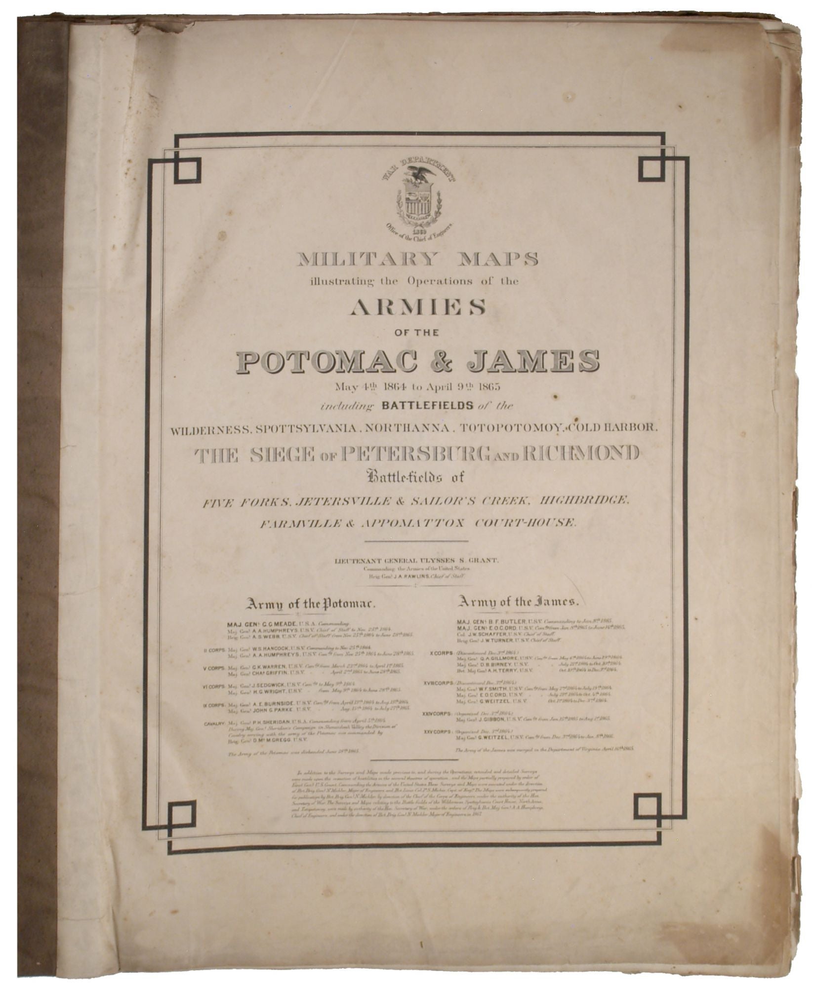
[Washington, D.C.]: War Department; Office of the Chief of Engineers, 1869.
Sold
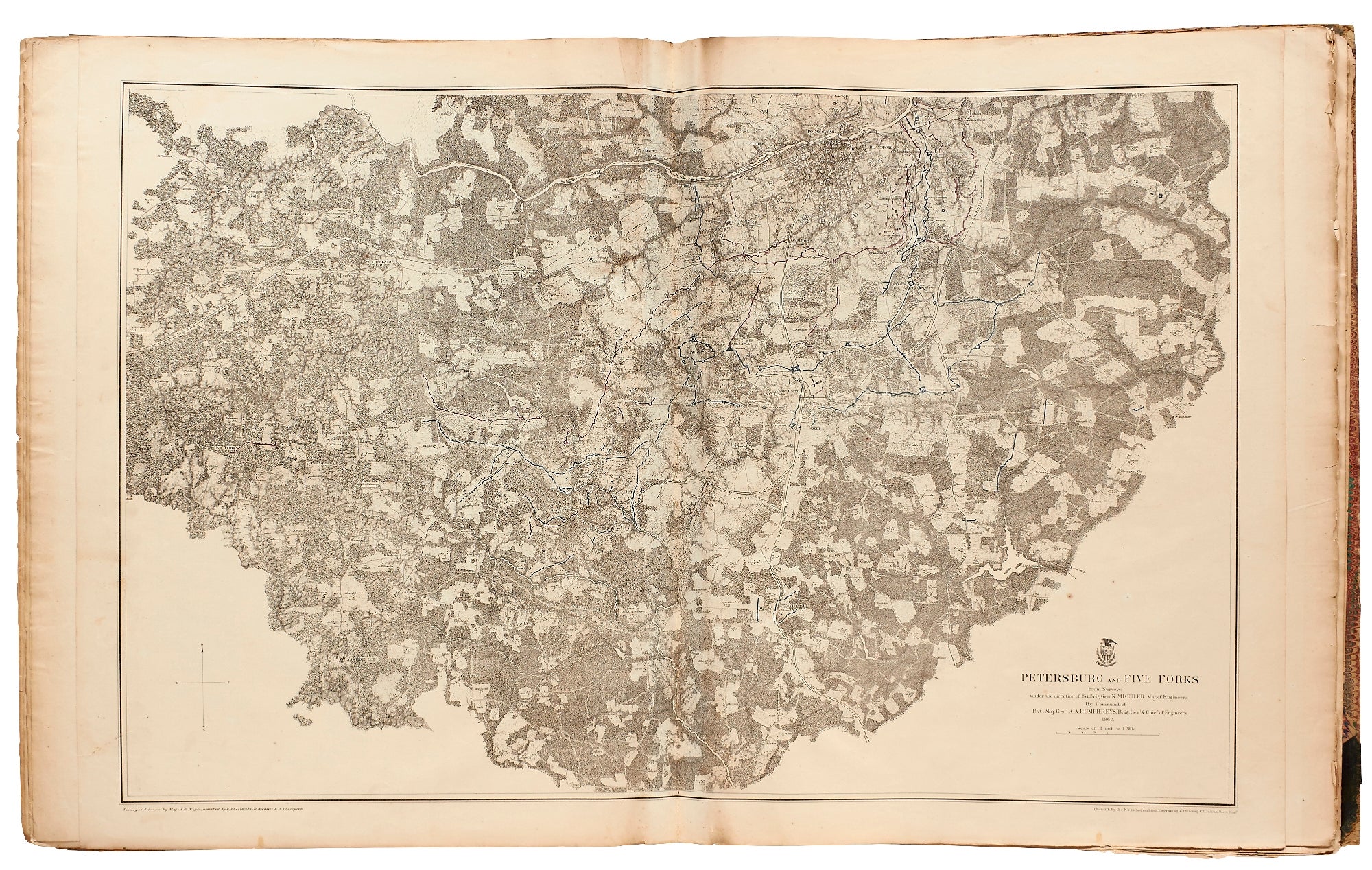
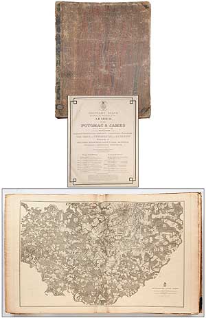
Hardcover. First edition. Large folio. Measures approximately 20" x 24". 16 double-page lithographic maps. Complete. Prepared under the direction of Bvt. Brig. Gen. N. Michler, Major of Engineers, and Bvt. Lieut. Col. P.S. Michie, Capt. of Engineers. Contemporary half leather and marbled paper boards. Ex-library copy with bookplate and small number stamp, else no other markings. The boards are worn and detached, lacking the spine back, the last plate has one vertical crease, else a good sound set of very fine detailed topographical maps, printed under the direction of Julius Bien (New York Lithographing, Engraving & Printing Co.): 1. Antietam, 2. Appomattox Court House, 3. Chancellorville, 4. Cold Harbor, 5-6. Region between Gettysburg and Appomattox Court House, 7. Fredericsburg, 8. Spottsylvania, 9. The Wilderness, 10. Richmond, 11. Petersburg and Five Forks, 12. High Bridge and Farmville, 13. Totopotomoy, 14. Bermuda Hundred, 15. Jetersville and Sailor's Creek, and 16. Harper's Ferry.
Item #373627


