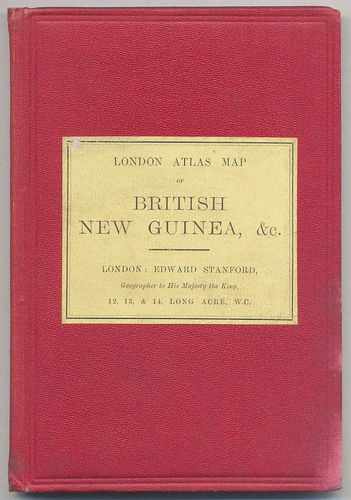
London Atlas Map of British New Guinea, &c
London: Edward Stanford, [no date - circa 1900].
Price: $450.00
Hardcover. Small octavo folding case, with foldout map mounted on linen and affixed in case. Red cloth with printed yellow label. Map measures 27" x 21" and is lithographed in color. Small stain on front board, near fine.
Item #308390
