Philadelphia: S.A. Mitchell, 1862.
Price: $3,000.00
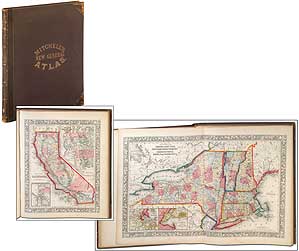
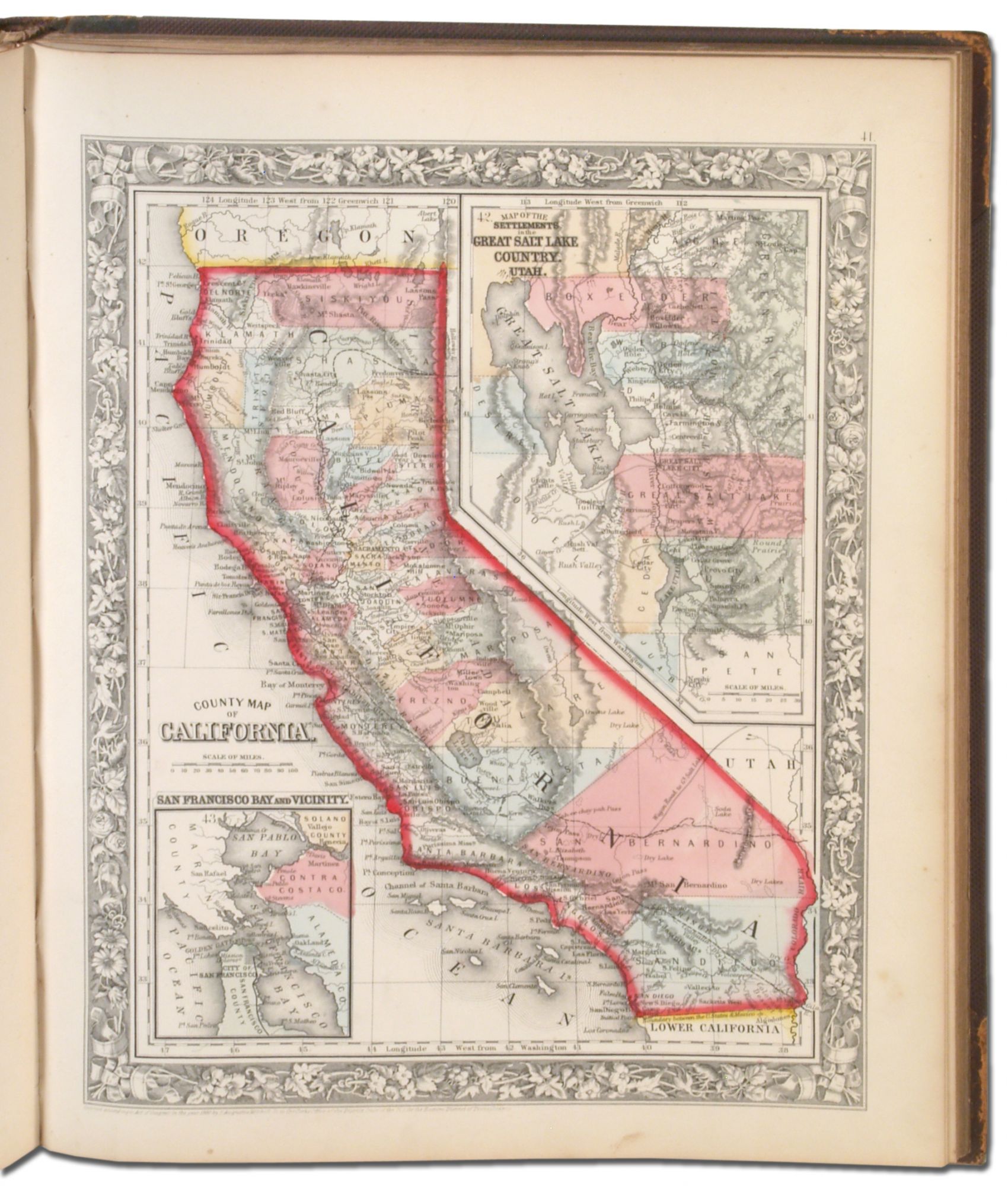
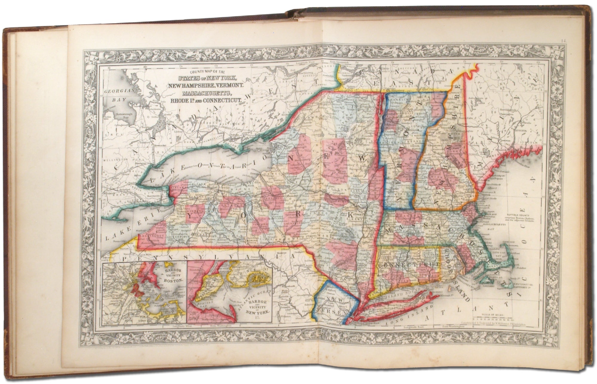
Hardcover. First edition. Small folio, unpaginated. Original publisher’s half calf and gilt-lettered pebbled cloth binding. A very good copy with wear to the leather, the title page and list of maps foxed and with occasional mild soiling to the margins of plates, but strong joints and hinges, with an attractive 19th Century American bookplate. A desirable example of this Civil War-era atlas. Excellent original hand-coloring for all maps. This copy is complete with all 80 maps plus two additional maps not called for: “New Hampshire and Vermont” and “County Map of Massachusetts, Connecticut and Rhode Island.” Among the more notable American maps are those detailing Texas, California, New Orleans, the Indian Territory of future Oklahoma, and plans of Baltimore and Washington, DC. The atlas also has three double-page maps. A beautiful example of a mid-19th Century American atlas.
Item #362452
